Tacticaware
RealityCapture in security services
Photogrammetry has its place in endless industries. 3D models and maps can be used from game and movie industry through cultural heritage preservation and archaeology to construction, agriculture or even security.
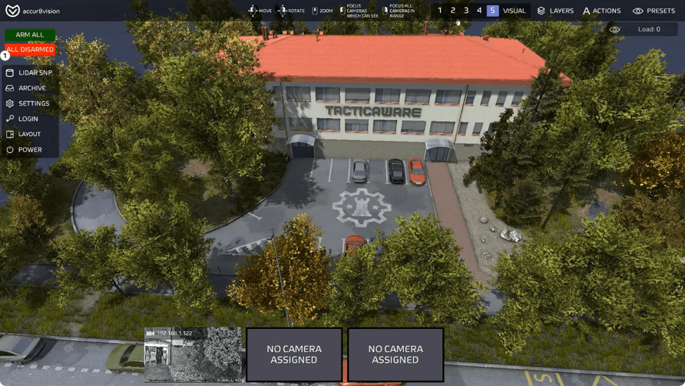
TACTICAWARE is a manufacturer of a volumetric security system called ACCUR8VISION, based on detection using Lidar technology. This unique system works with information from multichannel 3D Lidar detectors and visualizes the position of intruders in 3D maps.
The advantage of this system over conventional security systems is that ACCUR8VISION guards the entire space, not just its perimeter. When an alarm is triggered, the system will inform you about the number of intruders, their exact positions (in real time), their sizes, movement speeds and also visualizes the trajectories of their movements.
ACCUR8VISION also includes planning tools in 3D virtual reality as well as tools for virtual penetration tests. The detection engine can filter detected objects according to their size and other settings, also using artificial intelligence. When an intruder is detected, the system automatically pilots PTZ cameras to the alarm location.
Why photogrammetry?
ACCUR8VISION system is renowned for its original look and intuitive user experience. To do this, it is very important to be able to process maps as closely as possible to the real environment. That was the main reason why company chose RealityCapture.
“We have not found a better solution for our product. Working with RC is easy for our partners and the output is always perfect.”
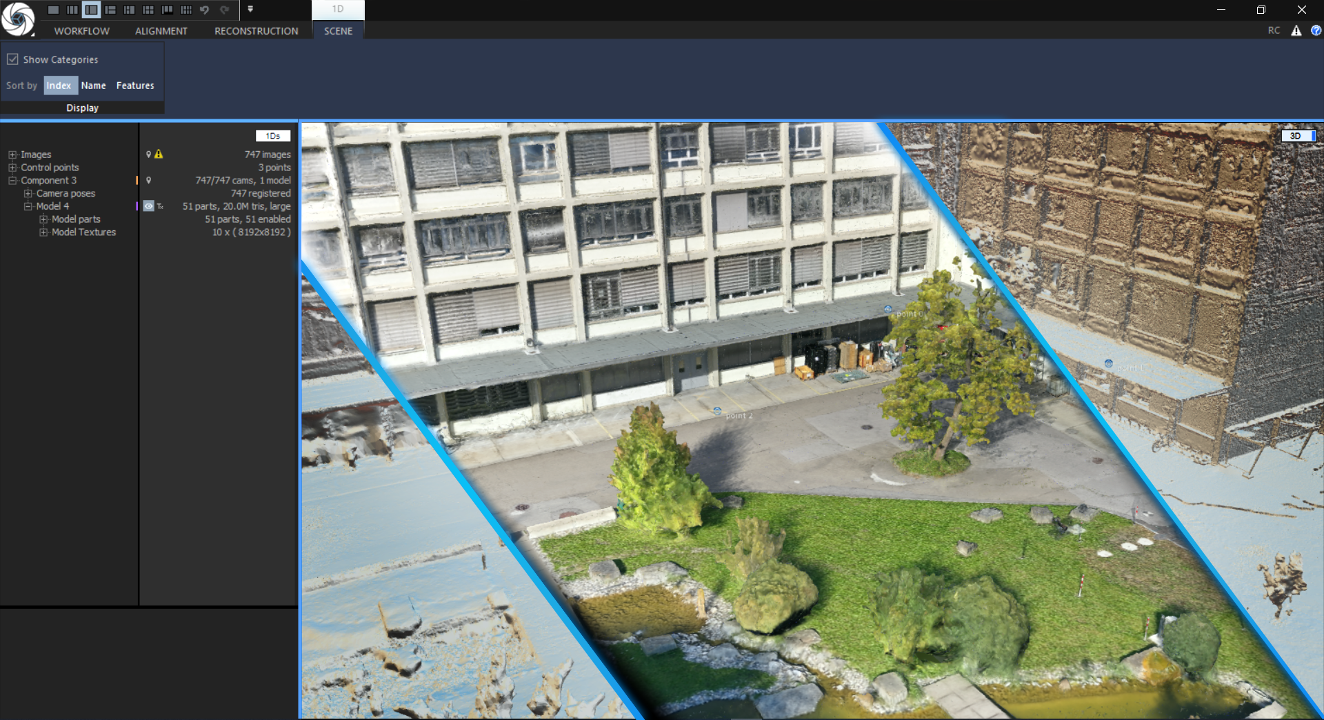
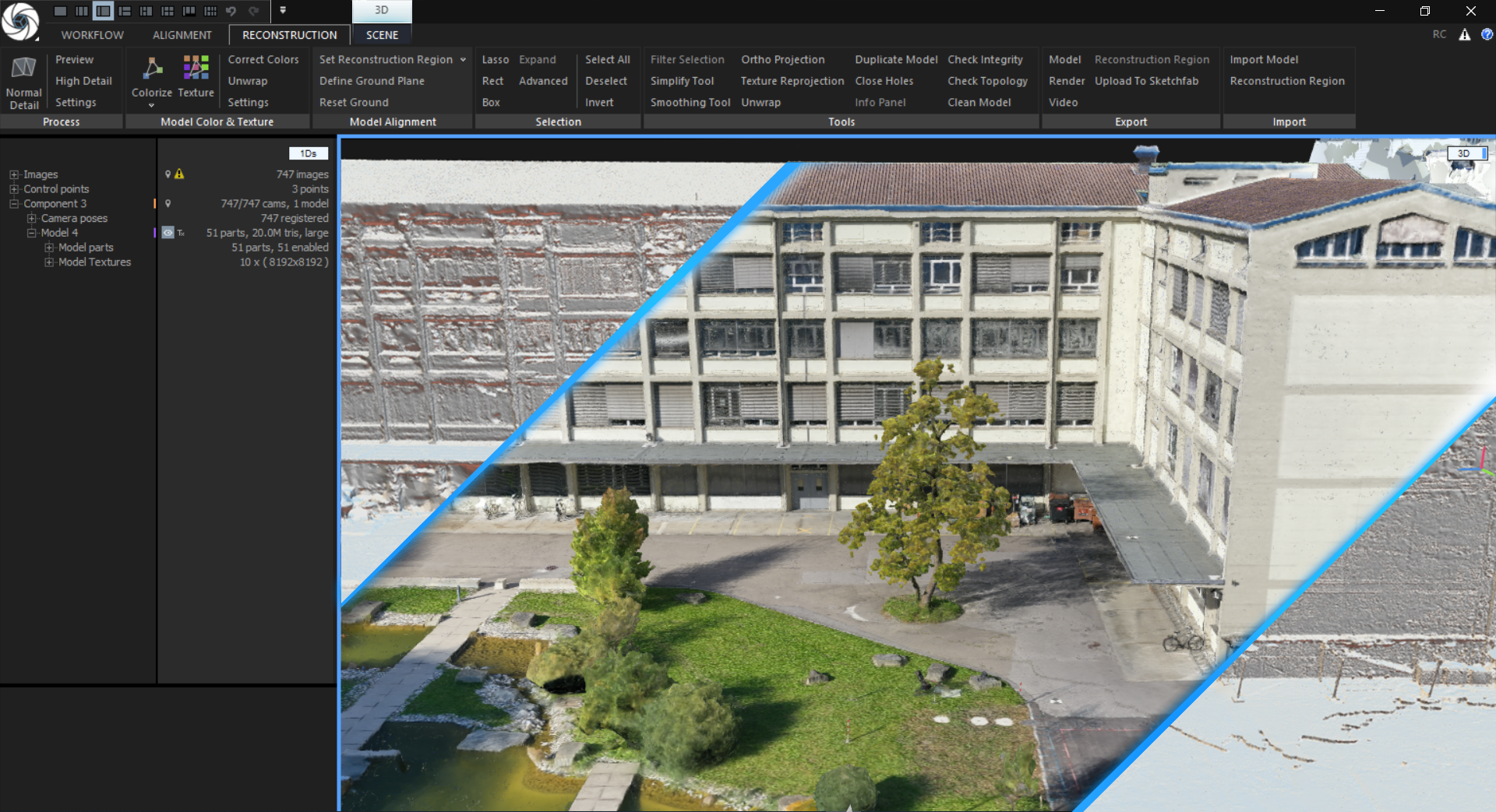
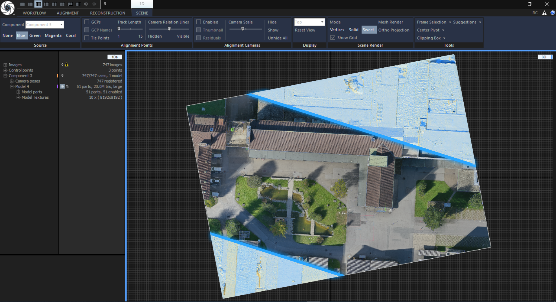
Photogrammetry is used for generation of 3D maps. The data are captured mainly with UAV, as the map can be rendered including the roofs of individual buildings.
The company uses multi-channel lidars of leading manufacturers (Velodyne, Leica, Ouster, Hesai) for detection. Each Lidar is connected to their security box, which contains a power supply, a backup battery, an interface board, etc. PTZ cameras are usually part of the installation. The system runs on a Linux server and is connected to it by Windows clients.
As they come from the lidar world, they also try to combine laser scanning and photogrammetry. Nevertheless, photogrammetry is simpler, inexpensive and fast for their customers and partners.
RealityCapture is also used to export 3D mesh, which then their uses system. The maps are applied with an anti-collision system which allows a virtual intruder to walk through the maps. It also allows the use of projecting light and shadows - similar to computer games.